The rim viewpoints
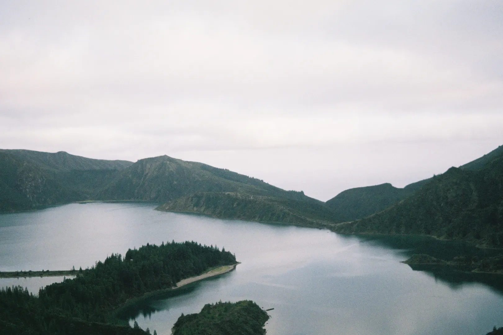
From the miradouros on the ridge road, the whole caldera spreads out below — on a clear day you see both the north and south coasts of the island at once.
São Miguel · fire lake
Honesty first: the official sources this guide checks verify no bus stop at the Lagoa do Fogo viewpoints, and São Miguel’s interurban network is in its 2026 transition. Most visitors reach the crater by tour, taxi, or a serious hike from the coast; if you hope to combine buses with the trail network, verify the current interurban situation through the official notice first.
By bus
Honesty first: the official sources this guide checks verify no bus stop at the Lagoa do Fogo viewpoints, and São Miguel’s interurban network is in its 2026 transition. Most visitors reach the crater by tour, taxi, or a serious hike from the coast; if you hope to combine buses with the trail network, verify the current interurban situation through the official notice first.
Source: Government of the Azores: Continuity of public transport services on São Miguel () · Government of the Azores: Transport Plan for the Azores 2021–2030
Read the official continuity noticeBefore you go
Published departures shift with the season. Azores Bus keeps the current timetable in your pocket.
Worth your time
Lagoa do Fogo — the Fire Lake — fills the youngest of São Miguel’s great calderas, ringed by white pumice beaches and slopes that have never been built on. It is the island’s wildest showpiece, protected as a nature reserve since 1974. Reaching it takes intent: the lake sits high on the central ridge, and no bus stop at the crater is verified by the sources this guide checks.
From the miradouros on the ridge road, the whole caldera spreads out below — on a clear day you see both the north and south coasts of the island at once.
A steep trail drops from the rim to the pumice beach at the water’s edge. The lake is a reserve: no facilities, no interventions — pack out everything.
On the northern slope below the lake, a thermal waterfall and pools sit in laurel forest — a natural pairing with the viewpoint on any Fogo day. Entry is managed; check current rules.
Keep exploring
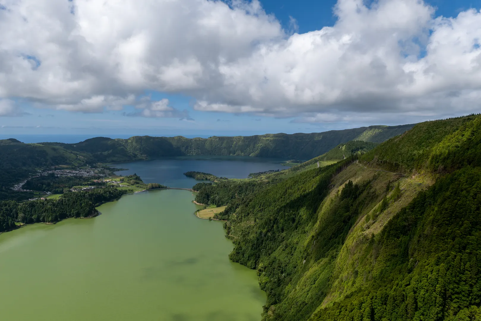 São Miguel · twin crater lakes Sete Cidades The green and blue lakes in a drowned volcano — the single most famous view in the Azores. Plan the ride
 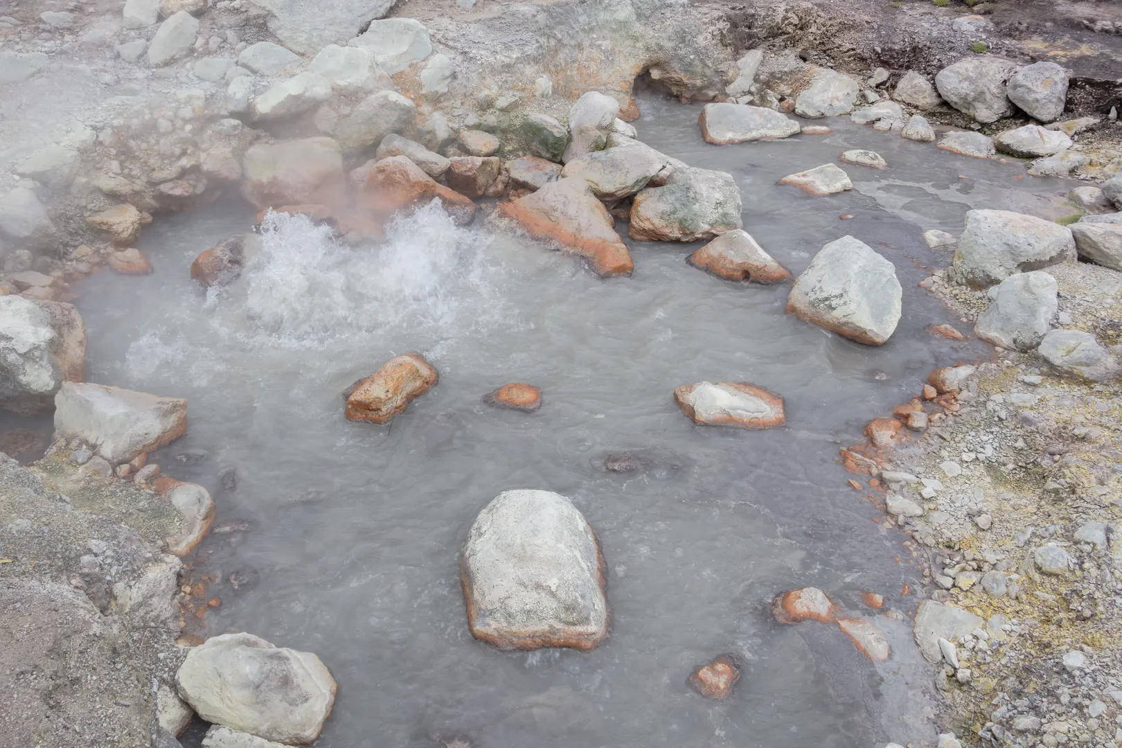 São Miguel · volcanic spa valley Furnas Steaming fumaroles, iron-orange thermal pools and a stew cooked underground — the Azores at their most volcanic. Plan the ride
 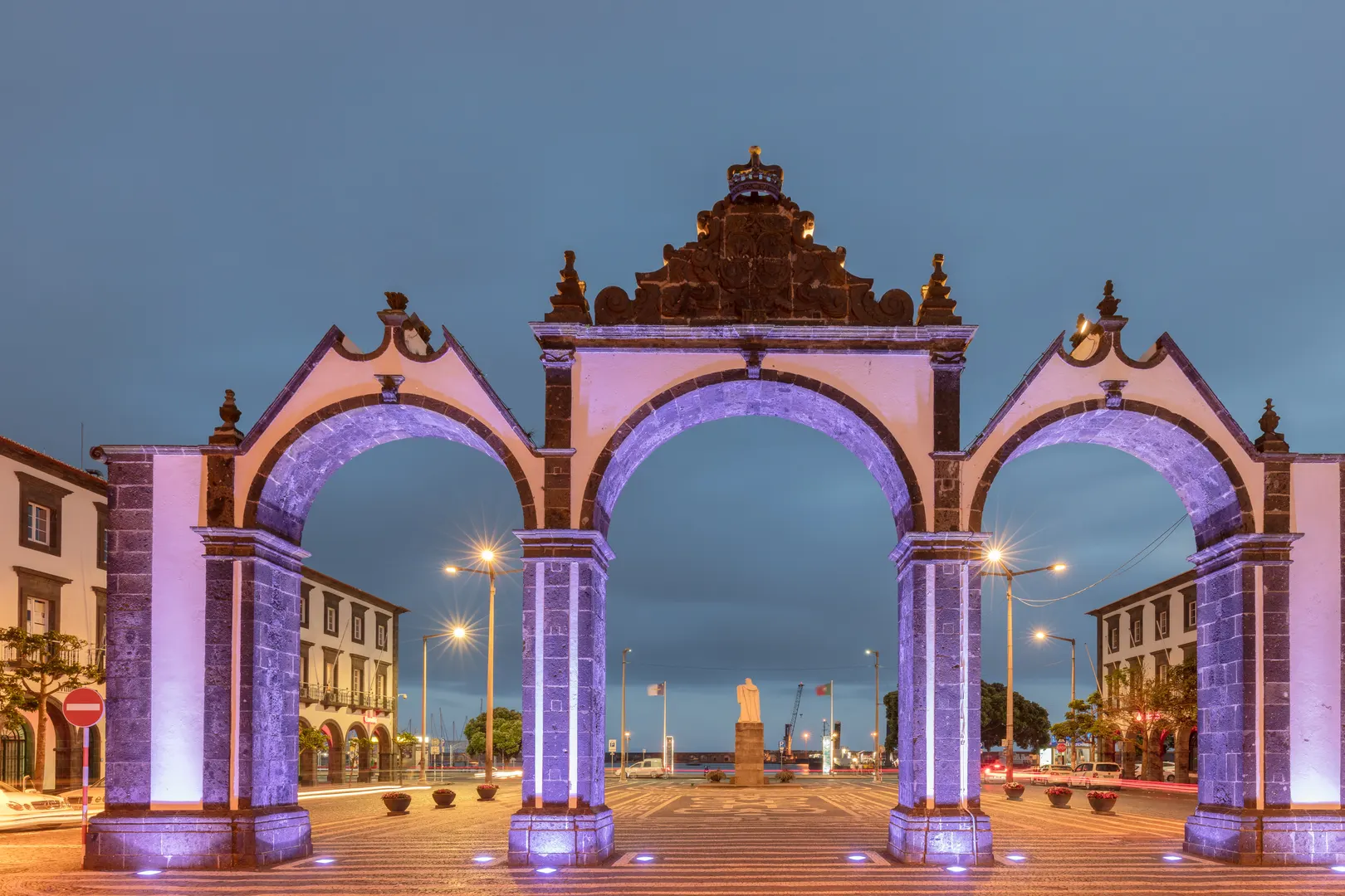 São Miguel · the capital Ponta Delgada The Azores’ biggest town: basalt-and-whitewash arcades, a working waterfront, and its own municipal MiniBUS. Plan the ride