Arrival and connections
Fly to Aeroporto da Horta with a date-specific SATA Air Açores search. Atlânticoline lists Horta for ferry searches; choose your exact port and date.
Faial
From a green central caldera to the stark Capelinhos coast.

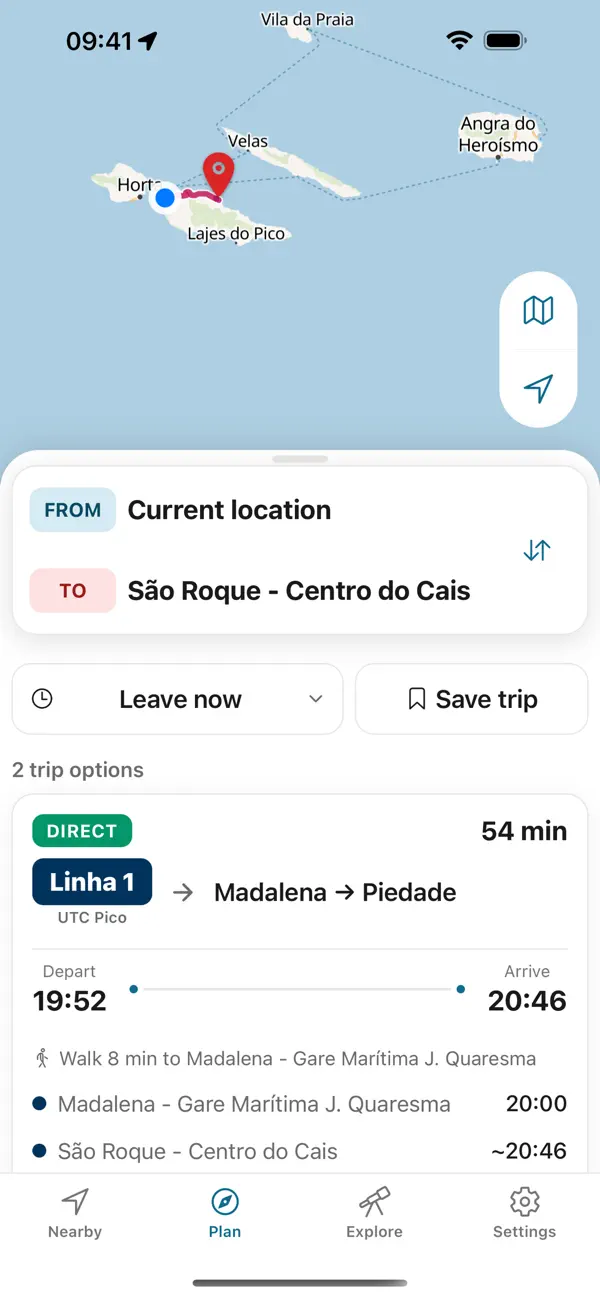
9 bus lines published by Farias. Line numbers and termini only; open a line for what this guide knows about it and for the operator’s timetable.
Horta is the natural orientation point; give the two volcanic landscapes separate time.
Fly to Aeroporto da Horta with a date-specific SATA Air Açores search. Atlânticoline lists Horta for ferry searches; choose your exact port and date.
Use Horta as your orientation point; Caldeira and Capelinhos are separate outings. Plan the return for each before leaving town.
Atlânticoline offers booking and digital tickets for its ferries. Payment and ticket rules for local buses and individual venues need confirmation with each operator.
For a concrete food or shopping stop, start with Peter Café Sport. Match its address to your day's route and ask the business about today's offer.
Faial holds two histories within a short island: Horta grew as an Atlantic communications stop after submarine cable links arrived in the 1890s, while the 1957–58 eruption made the new Capelinhos coast. Let each place tell its own part.
The mid-Atlantic marina where every crossing yacht paints its mark — with Pico’s volcano filling the horizon.
Photo: Jules Verne Times Two CC BY-SA 4.0 (cropped), via Wikimedia Commons

Walk the rim of Faial’s central caldera.
Photo: SilvioMartin CC BY-SA 4.0 (cropped), via Wikimedia Commons

Faial’s stark volcanic west end.
Photo: Josep M. Gracia CC BY-SA 4.0 (cropped), via Wikimedia Commons
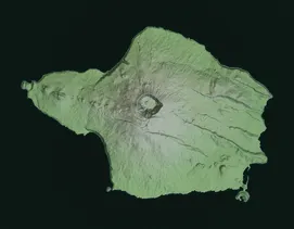

Take a visual look around Faial, including Horta and its volcanic coast, before choosing where to go.

Photo: Josep M. Gracia CC BY-SA 4.0 (cropped), via Wikimedia Commons
Compare guided activities after planning the visit itself. Loading these cards contacts GetYourGuide.
Booking through these links supports this free guide at no extra cost to you.
Azores Bus
Plan the way back before you set out. Azores Trails warns that many trails have no mobile network except at the start and end; the app keeps every printed return on your phone, offline.


Independent app. No ticket sales or live vehicle tracking.