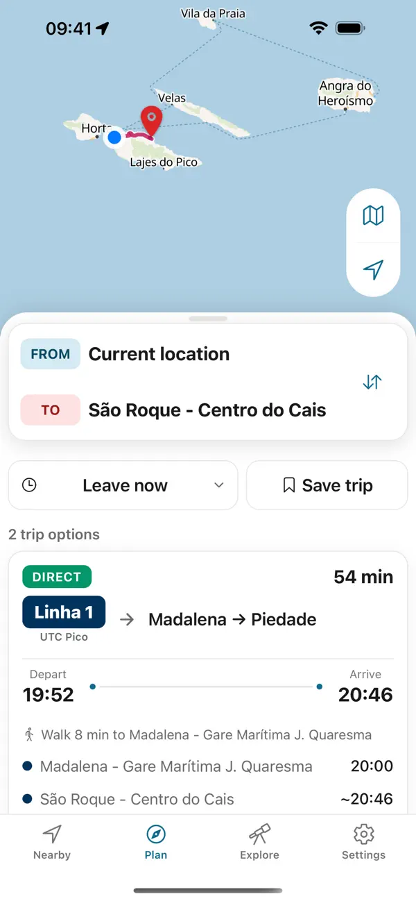
Arrival and connections
Fly to Aeroporto de Santa Maria; search SATA Air Açores for your travel date. For any sea alternative, use Atlânticoline’s date-specific journey search.
Santa Maria
Pale sand, red clay and marked coastal walks.
This guide lists no bus line on Santa Maria. What the official source publishes for the island:
The official tourism directory identifies Transportes Santa Maria and links to its timetable service. Confirm the timetable directly because the linked system does not show a clear freshness label here.
Open the official directory entryPraia Formosa, Barreiro da Faneca and the north-coast trail make three very different island days.
Fly to Aeroporto de Santa Maria; search SATA Air Açores for your travel date. For any sea alternative, use Atlânticoline’s date-specific journey search.
Use Vila do Porto as your orientation point; Praia Formosa and Barreiro da Faneca are separate outings. Plan the return for each before leaving town.
Atlânticoline offers booking and digital tickets for its ferries. Payment and ticket rules for local buses and individual venues need confirmation with each operator.
For a concrete food or shopping stop, start with Insula. Match its address to your day's route and ask the business about today's offer.
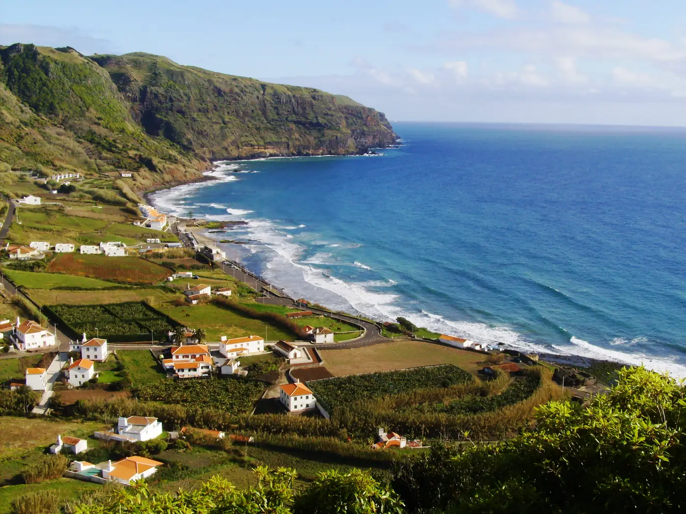
Santa Maria appears in the official tourism timeline as an Atlantic stop: Christopher Columbus anchored off Anjos in 1493 on his return voyage. The island’s harbour history and Praia Formosa’s quiet shore invite two different ways of looking at the sea.
Santa Maria’s pale-sand bay.
Photo: Carlos Luis M C da Cruz Public domain , via Wikimedia Commons
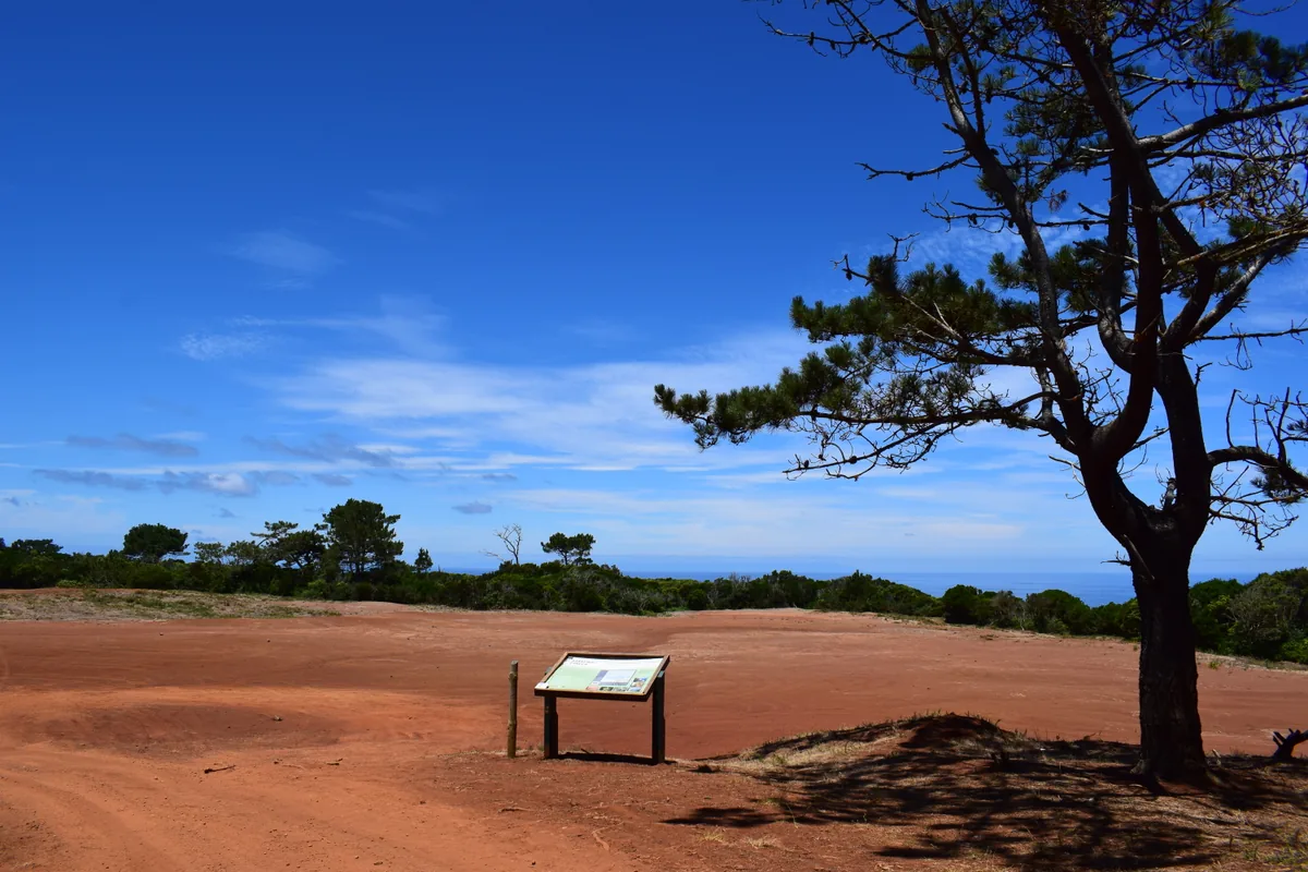
Santa Maria’s striking red-clay landscape.
Photo: Dreizung CC BY-SA 4.0 (cropped), via Wikimedia Commons
A marked northern-coast trail on Santa Maria.
Azores Bus
Plan the way back before you set out. Azores Trails warns that many trails have no mobile network except at the start and end; the app keeps every printed return on your phone, offline.


Independent app. No ticket sales or live vehicle tracking.