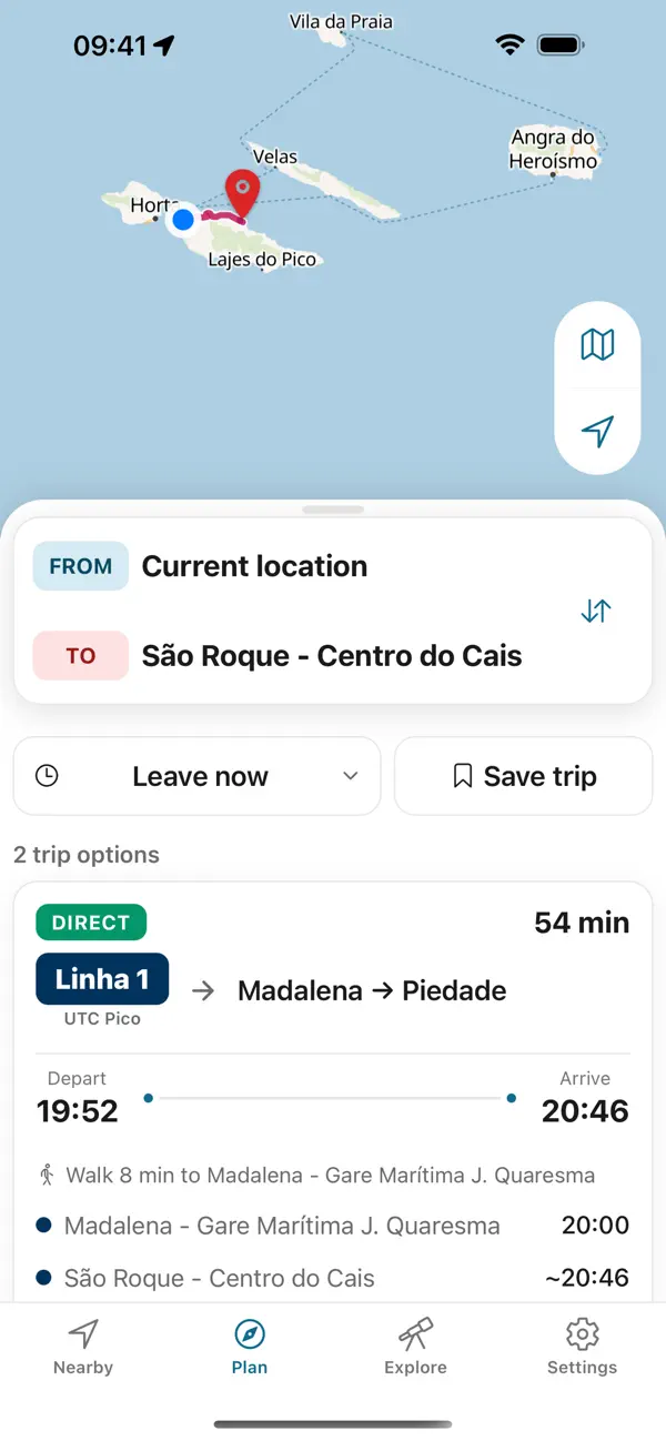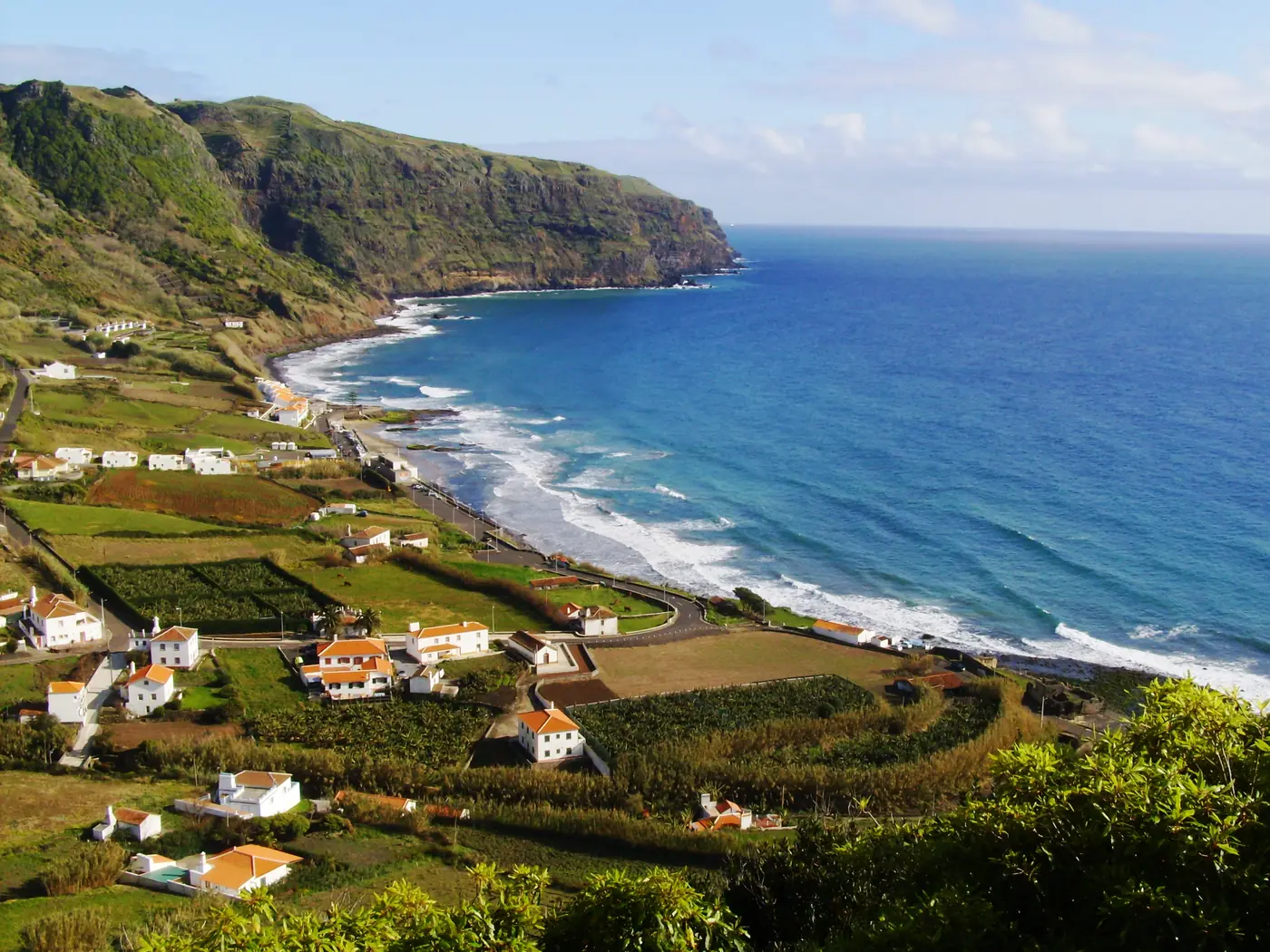
Photo: Carlos Luis M C da Cruz Public domain , via Wikimedia Commons
Santa Maria
Santa Maria’s striking red-clay landscape.
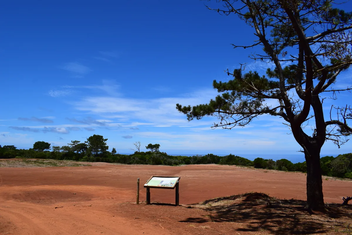
Come for the contrast between bare ochre ground and the island’s greener coast, and keep to permitted access.
No public-transport stop at this place has been verified. Use the official place or trail map to choose your approach and arrange a return before setting out.
Choose a way back from this place before leaving your starting point; a local road or trail does not establish a return bus.
Photo: Carlos Luis M C da Cruz Public domain , via Wikimedia Commons
Azores Bus
Plan the way back before you set out. Azores Trails warns that many trails have no mobile network except at the start and end; the app keeps every printed return on your phone, offline.


Independent app. No ticket sales or live vehicle tracking.