Arrival and connections
Fly to Aeródromo de São Jorge with a date-specific SATA Air Açores search. Atlânticoline lists Velas, Calheta for ferry searches; choose your exact port and date.
São Jorge
Fajãs, steep slopes and coastal lagoons.
This guide lists no bus line on São Jorge. What the official source publishes for the island:
Rumo à Natureza publishes route images for Norte, Rosais, Sul, Saturday variants, and an Atlânticoline-connecting service. Check the image and operator directly.
Open São Jorge route informationCubres is a place to pause and also a walking approach toward Santo Cristo; decide how far to go before leaving.
Fly to Aeródromo de São Jorge with a date-specific SATA Air Açores search. Atlânticoline lists Velas, Calheta for ferry searches; choose your exact port and date.
Use Velas as your orientation point; Fajã dos Cubres and Fajã da Caldeira de Santo Cristo are separate outings. Plan the return for each before leaving town.
Atlânticoline offers booking and digital tickets for its ferries. Payment and ticket rules for local buses and individual venues need confirmation with each operator.
For a concrete food or shopping stop, start with Café da Fajã dos Vimes, Uniqueijo. Match its address to your day's route and ask the business about today's offer.
The fajãs are both scenery and places shaped by upheaval. Visit Azores’ historical timeline records a major 1757 earthquake that formed many present-day low coastal strips. At Cubres and Santo Cristo, the land’s history is part of the walk.
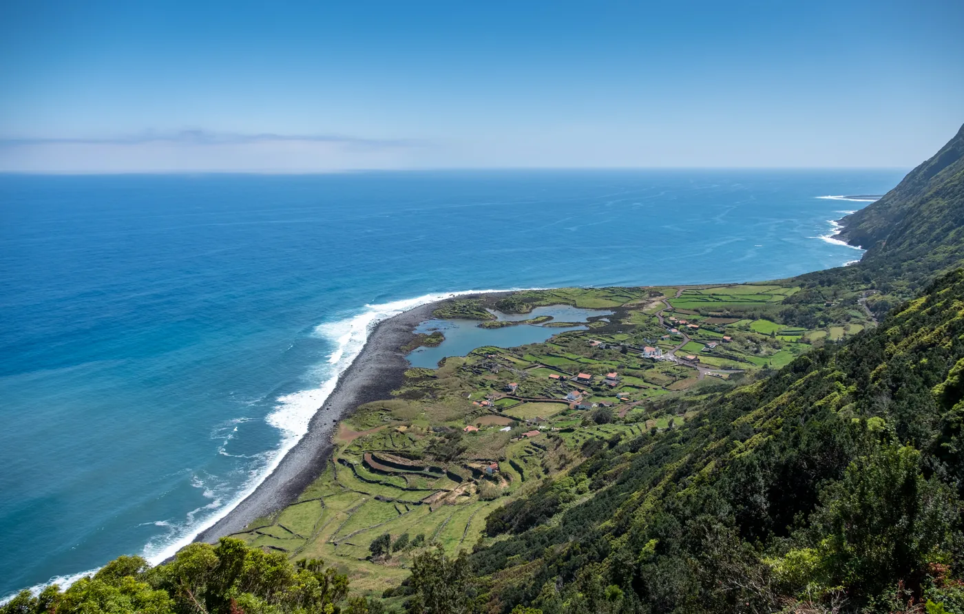
A remote São Jorge fajã beside a coastal lagoon.
Photo: Alacoolwiki CC BY-SA 4.0 (cropped), via Wikimedia Commons
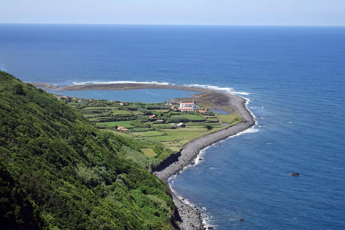
A São Jorge coastal fajã with a lagoon.
Photo: Jules Verne Times Two CC BY-SA 4.0 (cropped), via Wikimedia Commons
Azores Bus
Plan the way back before you set out. Azores Trails warns that many trails have no mobile network except at the start and end; the app keeps every printed return on your phone, offline.


Independent app. No ticket sales or live vehicle tracking.