Ponta Delgada
Readings load in your browser
- Wind
- —
- Gusting
- —
- Temperature
- —
- Visibility
- —
Explore · São Miguel
The island from its own elevation data, every place this guide has a page for, and the printed lines that stop there. Choose a view, pick a kind of place, and open one to plan the day.
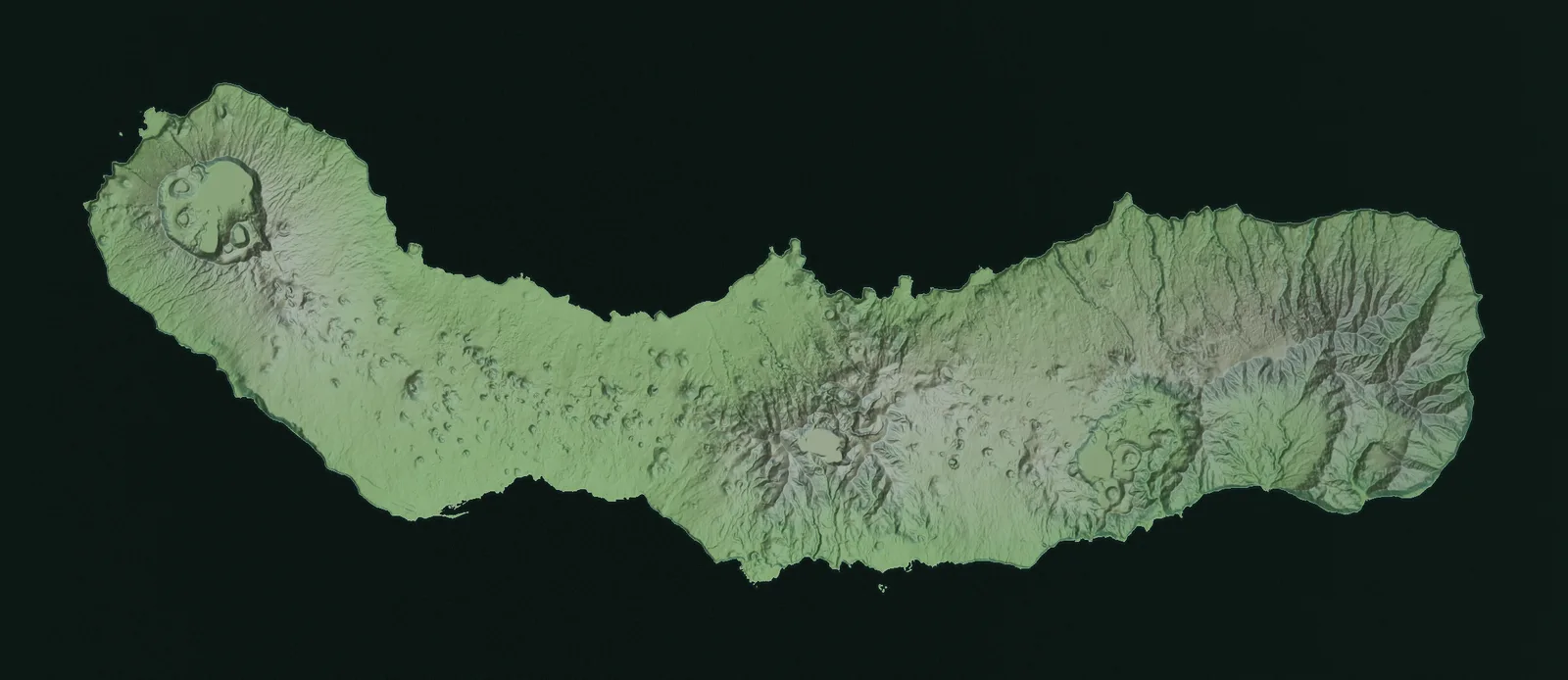
44 places
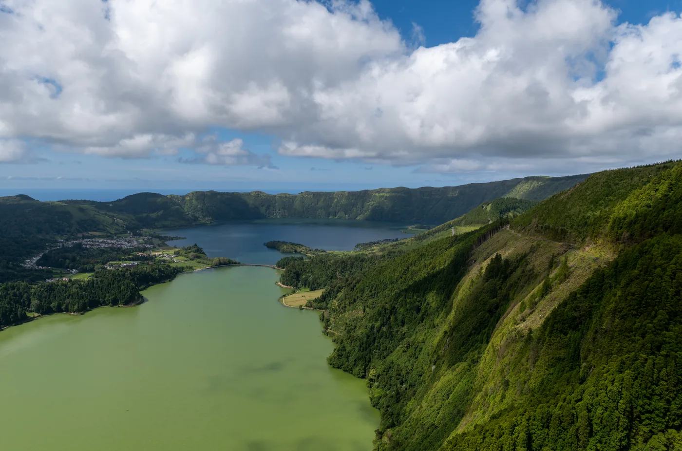
Lakes and viewpoints · Trailheads
Two crater lakes, one green and one blue, with a village on the crater floor between them and the Vista do Rei viewpoint on the rim.
Scheduled service
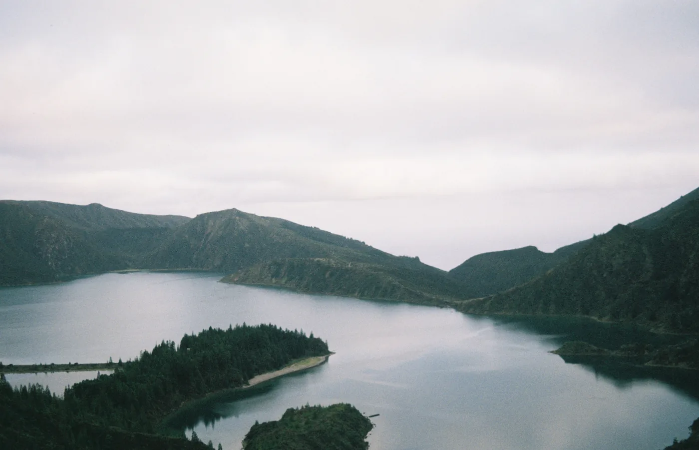
Lakes and viewpoints
A crater lake on the island’s central ridge, ringed by pumice beaches and protected as a nature reserve since 1974.
No bus stop here
Nearest printed stops: Água de Pau, Ribeira Chã
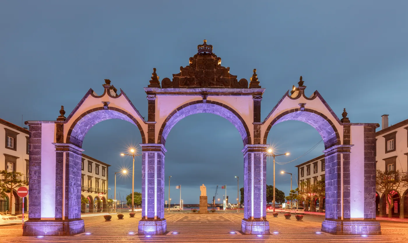
Towns and villages
The city where most of the island’s interurban lines begin: basalt-and-whitewash arcades, a working waterfront and its own municipal MiniBUS.
Scheduled service
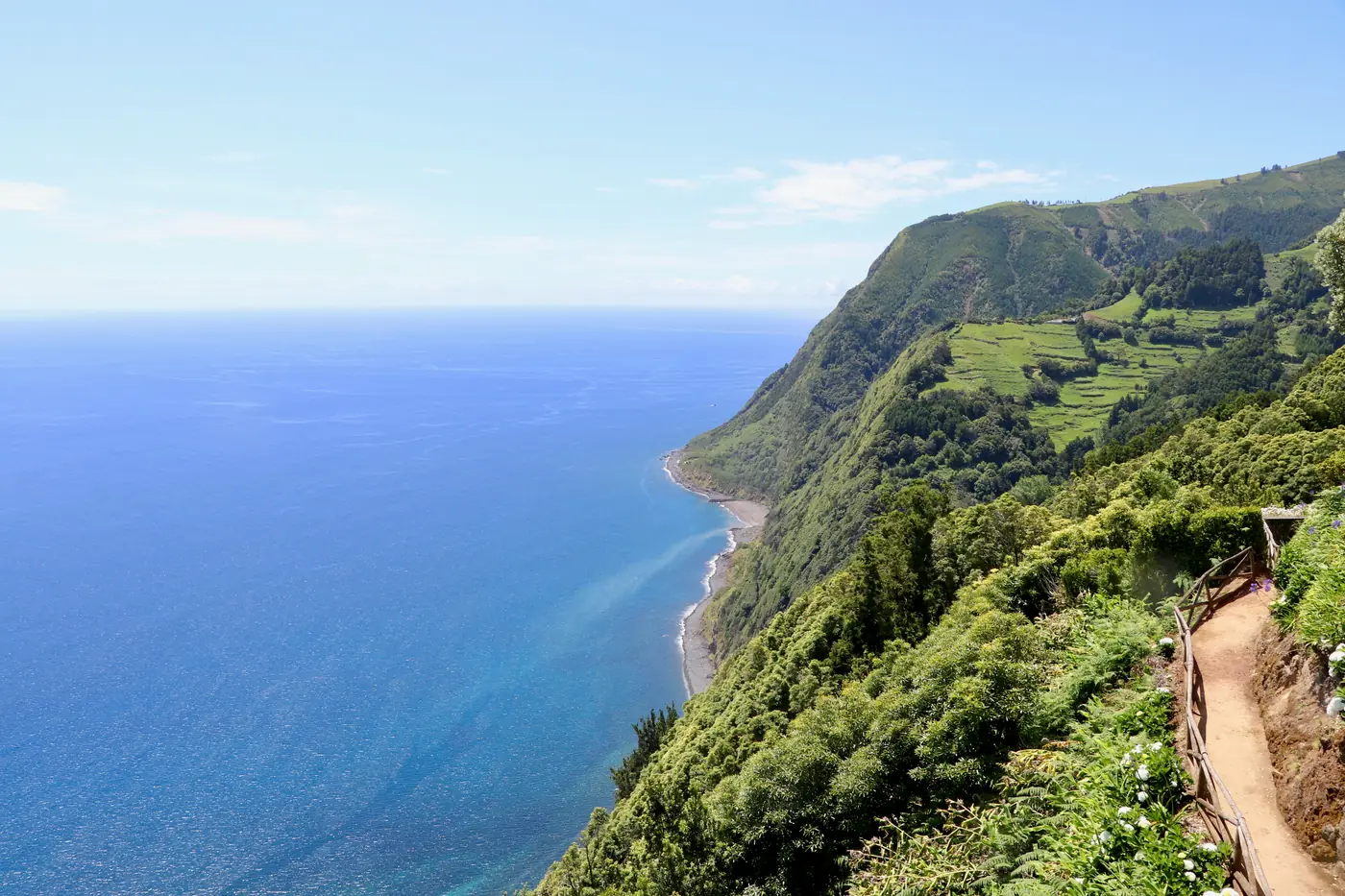
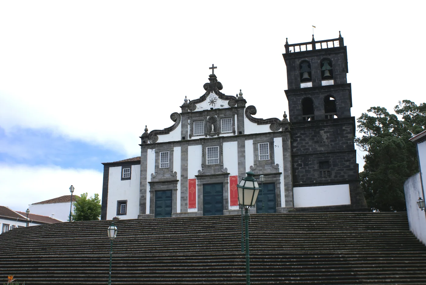
Towns and villages · Coast and beaches
The island’s second city and the north coast’s bus terminal, with a surf beach and a baroque old town.
Scheduled service
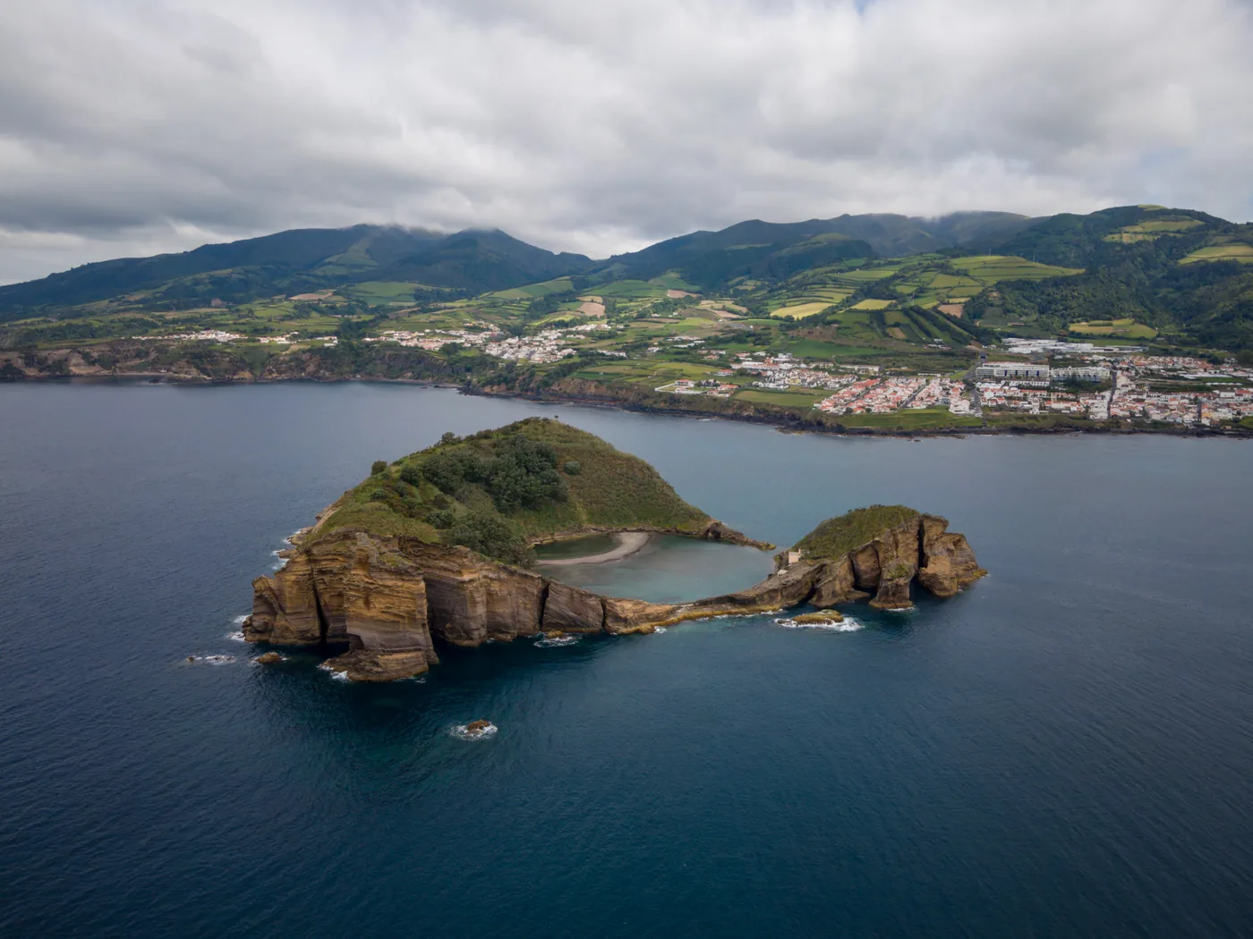
Towns and villages · Coast and beaches
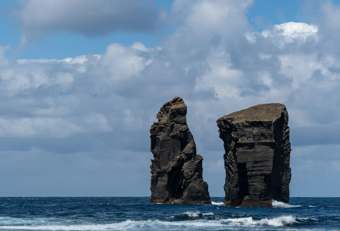
The former island capital on the south coast, with its offshore islet, a marina and a printed bus terminal.
Scheduled service
Towns and villages
The south-west coast parish that the direct Sete Cidades lines are named "via Candelária" after.
Scheduled service
Towns and villages
A north-coast parish on the Capelas, Santo António and Fenais da Luz corridors.
Scheduled service
Towns and villages
The upper suburban parish north of the city, served by suburban lines and the north-western corridors.
Scheduled service
Towns and villages
The parish on the northern edge of Ponta Delgada known for its pineapple greenhouses, on many outbound lines.
Scheduled service
Coast and beaches · Towns and villages
A north-coast parish with sea pools, reached by two weekday lines and the Santo António corridors.
Scheduled service
Towns and villages
The suburb east of Ponta Delgada that almost every line towards Lagoa, Vila Franca and the north-east passes through.
Scheduled service
Towns and villages
The busy fishing town on the north coast that the Ribeira Grande line is routed through.
Scheduled service
Coast and beaches
The surf beach parish beside Ribeira Grande, where the Pico do Fogo road line starts its return.
Scheduled service
Towns and villages
A hillside parish on the south coast whose stops are the nearest printed ones to the Lagoa do Fogo massif.
Scheduled service
Towns and villages
A small south-coast parish between Água de Pau and Vila Franca, with its own weekday line from the city.
Scheduled service
Coast and beaches
The beach parish just west of Vila Franca do Campo, with a printed Praia stop on the coast lines.
Scheduled service
Coast and beaches · Towns and villages
The north-coast parish with a tea factory and a small beach, on the Furnas and Nordeste lines.
Scheduled service
Towns and villages
A long linear parish east of Vila Franca with more printed stops than any other village on the south coast.
Scheduled service
Towns and villages
A north-coast parish between Maia and Nordeste on the stopping line to the north-east.
Scheduled service
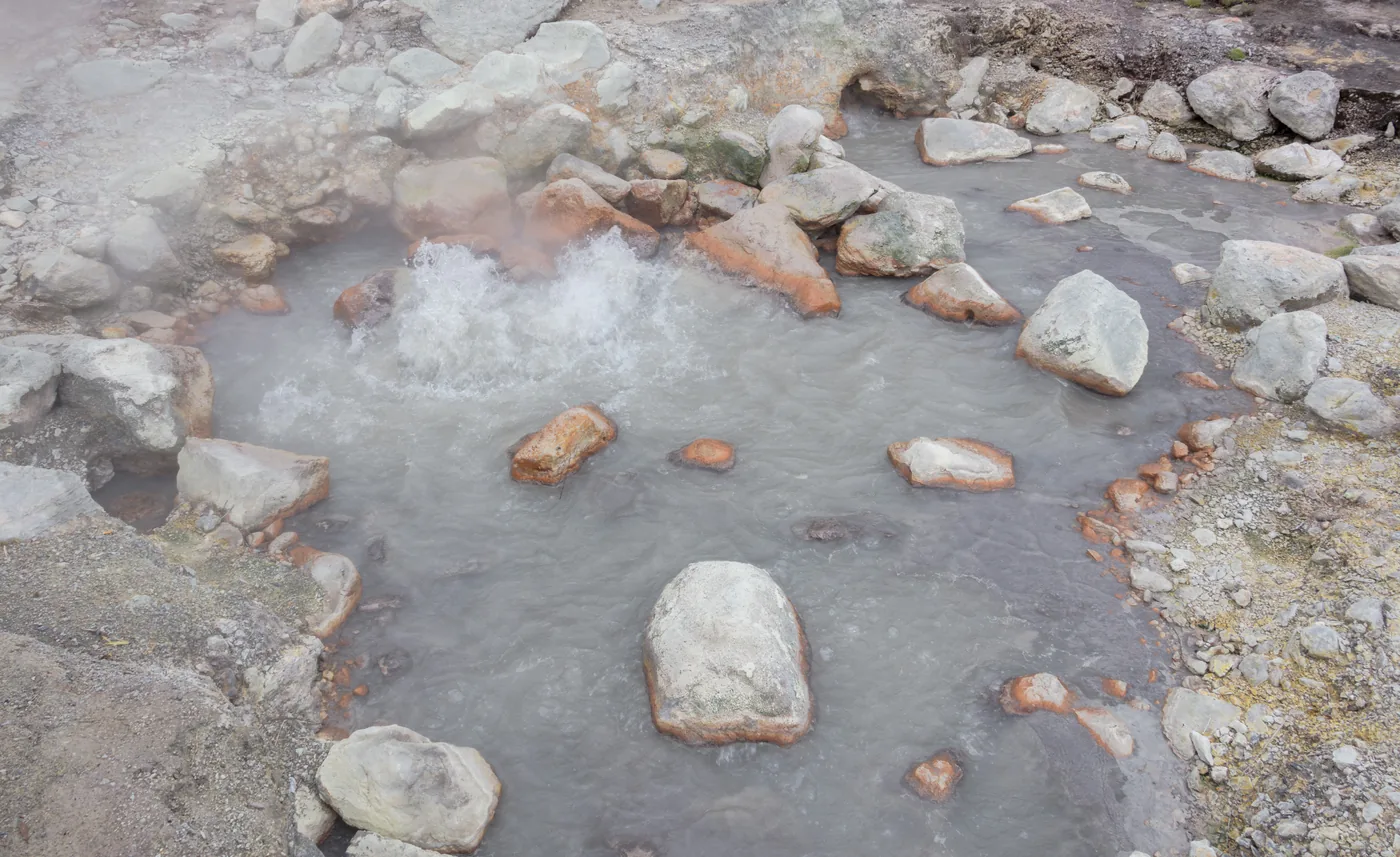
Coast and beaches · Hot springs
The fishing village south of Furnas whose beach is warmed by the volcano, served by a short local line.
Scheduled service
Trailheads · Towns and villages
The village at the foot of the Salto do Prego waterfall trail, on the Água Retorta and Nordeste lines.
Conditions apply
Towns and villages
The easternmost village of Povoação municipality, at the end of a school-day line from the terminal.
Conditions apply
Towns and villages
The parish on the western edge of Ribeira Grande city that most north-coast lines pass through.
Scheduled service
Not pinned on the map yet
The island at a glance
1,094 m
Highest ground in the elevation model
The highest 30-metre cell over São Miguel in Copernicus DEM GLO-30, as the relief was rendered on 10 October 2026.
Source: Copernicus (European Union and ESA)Copernicus DEM GLO-30 on the Registry of Open Data on AWS
56
Printed bus lines
AzoresBus (Vale do Ave Açores), line PDFs in force on 14 October 2026.
Source: AzoresBus (Vale do Ave Açores)Line index (CMS feed behind azoresbus.pt/Schedule)
830
Printed stops
Every stop those line timetables print, on São Miguel.
Source: AzoresBus (Vale do Ave Açores)Line index (CMS feed behind azoresbus.pt/Schedule)
43 of 44
Places here with a printed stop
Lagoa do Fogo: no line prints a stop there; the card names the nearest.
Source: AzoresBus (Vale do Ave Açores)Line index (CMS feed behind azoresbus.pt/Schedule)
Conditions
Current readings in Ponta Delgada and at the three crater places. On São Miguel the weather, not the timetable, often decides whether a rim or a lake is worth the walk.
Readings load in your browser
Readings load in your browser
Readings load in your browser
Readings load in your browser
Live readings are unavailable right now. The guidance below does not depend on them.
These are measured weather readings, not a service status. We do not infer from a reading whether a bus is running; the operator’s timetable, linked from every line page, is the source for that.