Walking & trails
Walking trails
A marked path is the beginning of a plan.
- Questions answered
- 7
- Official sources
- 9
- Last checked
- 14 October 2026
The official trail directory gives route maps, grades and notices across all nine islands. Match the walk to your day and arrange the way home.
Make your visit work
- Read the route map and alert page before leaving; tell someone your route and expected return. Signal can disappear on the trail.
Choose a walk
Filter the Azores Trails directory by island, distance, difficulty and route shape. Download the individual map: a linear trail needs a different return plan from a loop.
Lakes and calderas
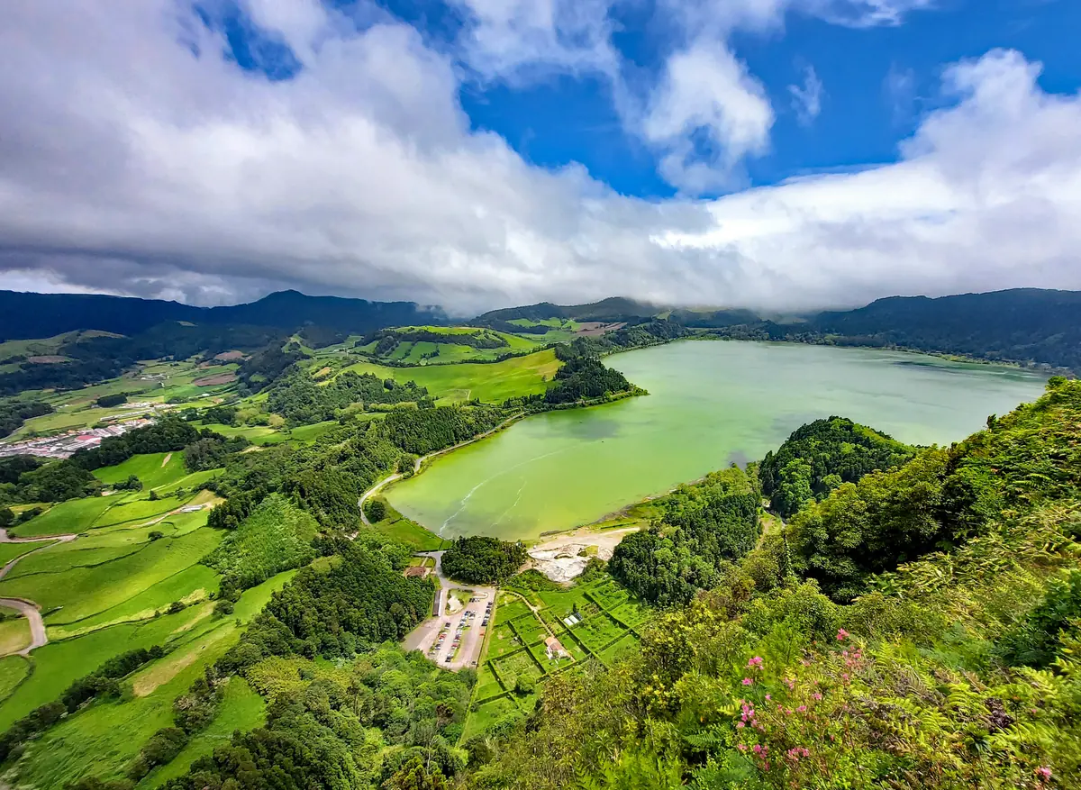
On São Miguel, the Lagoa das Furnas trail offers a lake walk with distinct stops around the shore. On Faial, the official Caldeira route follows the crater setting. Read each route card for length, grade and current access.
Waterfalls and remote ground
Flores PR02 runs through Fajãzinha toward Fajã Grande, with a detour for Poço da Ribeira do Ferreiro and views of Rocha dos Bordões. Corvo has separate official routes for Cara do Índio and Caldeirão. Use the downloadable map for each; do not infer a village-to-trail bus.
Check before the first step
The official alert page lists closures and maintenance; check it on the day, together with the forecast. The trail service asks walkers to study the map, take suitable shoes and water, tell someone the route and expected return, and carry a charged phone. Mobile coverage may fail.
Finish the day safely
Keep to trail markers and avoid shortcuts. If a route ends away from where it began, arrange collection or a verified onward connection before you start. For rescue, the official safety page says the numbered trail posts help responders locate you; call 112 for an emergency.
Which trails are closed?
The official alerts page listed twelve trails as temporarily closed on 14 October 2026, among them PR11SMI Ribeira do Faial da Terra on São Miguel (the Salto do Prego walk), PRC03TER Serreta on Terceira, PR09SJO Fajã dos Vimes – Fragueira – Portal on São Jorge and PR01FLO Ponta Delgada – Fajã Grande on Flores. Closures change; open the alerts page on the morning you walk, and do not plan a bus day around a closed trail.
What if I need help on a trail?
Azores Trails says many trails have no mobile coverage except at the start and end, so calls should be made there. The trail marks carry numbers every 500 m: if you need rescue, give the number of the last pole you passed. Carry enough drinking water, because the water in streams and lagoons is not safe to drink, and tell someone where you are going and when you plan to return — for a bus walker, that is the time of the last bus.
Experiences to fit your day
Compare guided activities after planning the visit itself. Loading these cards contacts GetYourGuide.
Booking through these links supports this free guide at no extra cost to you.
Sources & last checked
- Azores Trails · Lagoa das Furnas trail ·
- Azores Trails · Find a Trail ·
- Azores Trails · Trail alerts ·
- Azores Trails · Ethics and safety ·
- Azores Trails · Faial Caldeira trail ·
- Azores Trails · Lajedo – Fajã Grande, PR02FLO ·
- Azores Trails · Caldeirão, PRC02COR ·
- Azores Trails · Trail alerts ·
- Azores Trails · Ethics and safety ·
Azores Bus
Take Azores Bus with you
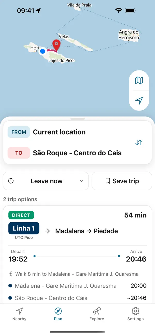
Plan the way back before you set out. Azores Trails warns that many trails have no mobile network except at the start and end; the app keeps every printed return on your phone, offline.
- Six islands, in one appOperator-sourced schedules, routes and stops for São Miguel, Terceira, Faial, Pico, Santa Maria and Graciosa.
- Made for offlineTimetables stored on your phone for coast roads and craters with no signal.


Independent app. No ticket sales or live vehicle tracking.