Days & seasons
Weather, trails and conditions
Use a view as context, then verify the route.
- Questions answered
- 3
- Official sources
- 4
- Last checked
- 9 October 2026
Weather, sea and trail access can change. Official trail pages describe routes but do not by themselves establish live conditions.
Make your visit work
- Check official trail notices, forecast and local access information on the day. A camera image is not a trail-open or safe-swim notice.
Two checks before a walk
Use the Azores Trails alert page for route closure or maintenance and IPMA for weather and sea warnings. Then open the individual trail map for length, difficulty, shape and start point.
Choose the right landscape
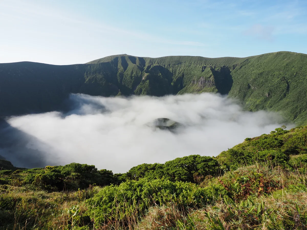
A Faial Caldeira rim walk is exposed high ground; the Santa Maria north coast and Flores waterfall routes have different terrain and returns. Choose by route information and the day’s conditions, not a single island-wide forecast.
If plans change
An attractive webcam image is only one moment at one viewpoint. If a trail is closed or conditions deteriorate, choose a town, garden or interpretation centre and check its own access information.
Sources & last checked
Azores Bus
Take Azores Bus with you
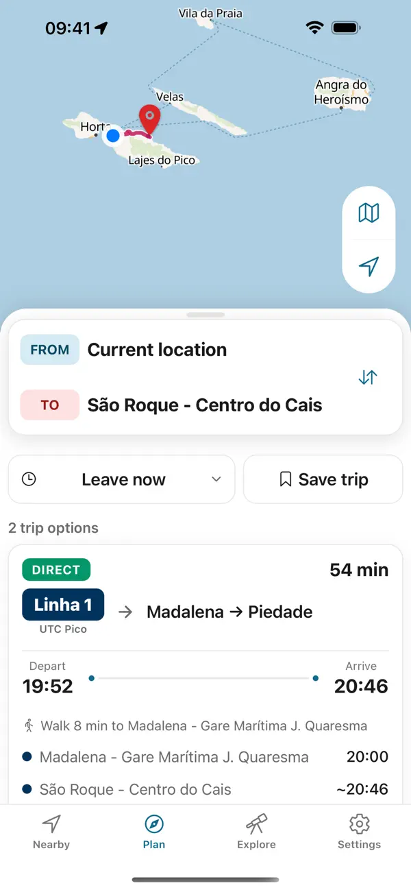
Plan the way back before you set out. Azores Trails warns that many trails have no mobile network except at the start and end; the app keeps every printed return on your phone, offline.
- Six islands, in one appOperator-sourced schedules, routes and stops for São Miguel, Terceira, Faial, Pico, Santa Maria and Graciosa.
- Made for offlineTimetables stored on your phone for coast roads and craters with no signal.


Independent app. No ticket sales or live vehicle tracking.